How I prepared a Contour Map for this Farm in QGIS Software

HTML-код
- Опубликовано: 8 фев 2025
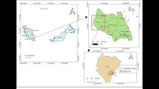
- In the previous tutorial, we talked about how to estimate crop water requirements with CROPWAT for a given scheme/farm. Today we will proceed where we ended and create a contour map for the same plot by using QGIS!
With the Contour map, as Irrigation Engineers, we will be in an excellent position to get elevation values which are crucially needed during the design phase!
Regards,
Eng. Lodrick Thomas
@HydroinformaticsAcademy
RECOMMENDED VIDEO
How I used CROPWAT 8.0 to Estimate the Amount of Water to Irrigate this Farm (has multiple Crops): • How I used CROPWAT 8.0...
RECOMMENDED PLAYLIST
CROPWAT 8.0 Playlist (English Version): • A Complete Guide on Ho...
==============
FOLLOW HYDROINFORMATICS ACADEMY ON SOCIAL MEDIA
==============
Telegram Channel: t.me/hydroinfo...
Linkedin Page: / hydroinformaticsacademy
Facebook Page: / hydroinformaticsacademy
Want to support my channel? Here's Patreon Link: / hydroinformaticsacademy
Not SUBSCRIBEED YET? Here is the Link: www.youtube.co...
========
DISCLAIMER
========
This is not engineering advice. Everything here is for informational and educational purposes only!