ArcGIS Image for ArcGIS Online

HTML-код
- Опубликовано: 10 сен 2024
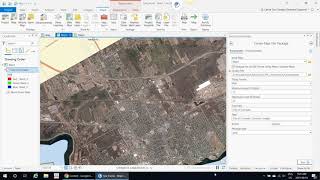
- ArcGIS Image for ArcGIS Online provides hosted imagery capabilities with visualization and raster analytics in the cloud. Learn about the technology in this demonstration from Juhan Yoon and Kate Hess.
--------------------------------------------------------------------------------------------------------------------------
Follow us on Social Media!
Twitter: / esri
Facebook: / esrigis
LinkedIn: / esri
Instagram: / esrigram
The Science of Where: www.esri.com


good greeting
After I registered on your esteemed site, wide doors of information about GIS opened for me, although I have been working on this program since approximately 2012 and worked on several versions of the program, but this course and this site and the information it provides us with the wonderful impact on progress and development in Working on GIS software, thank you very much, your colleague Sabah Omar from Iraqi Kurdistan
This is almost dizzying in terms of what could be done. But for how much? Are there packages for small organizations like County departments?
It's mostly done with ArcGIS Pro and ArcGIS Online; many counties already have access to the tech. The other important bit here is the data itself, i.e. the imagery data.