AutoCAD DWG to UTM/WGS Projection Using Civil 3d Autodesk

HTML-код
- Опубликовано: 9 сен 2024
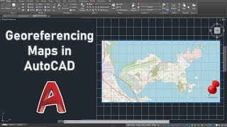
- Welcome to our comprehensive tutorial on projecting AutoCAD DWG files into UTM or WGS coordinate systems and testing them using QGIS. Whether you're a Town Planning officer, GIS enthusiast, an architect, or a surveyor, understanding how to correctly project your DWG files is crucial for accurate geospatial analysis and mapping.


Uko Vizuri Boss