Это видео недоступно.
Сожалеем об этом.
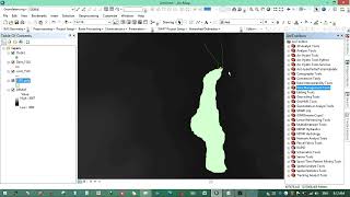
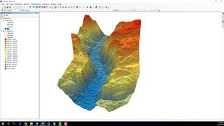
How to calculate volume of water in lake or pond using ArcGIS

HTML-код
- Опубликовано: 5 фев 2023
- This video tutorial shows you how to calculate volume of water in lake or pond using ArcGIS
How to convert raster cell size from decimal degree to meters: • How to convert raster ...


Well explained. Thank you
Is it possible to calculate this in QGIS? Excellt video
Awesome
what if the water depth is not from sea level
Where can I get the raster dataset used in this video
You can easily get raster datasets from USGS or if you have channel or water depth readings you can convert them to raster dataset through interpolation
@@geojaygissolution4856 thanks