CAD-Earth: Import/export beetween Google Earth and CAD programs

HTML-код
- Опубликовано: 12 сен 2024
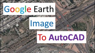
- CAD-Earth is designed to easily import/export images, objects and terrain meshes between Google Earth™ and major CAD programs and create dynamic contour lines and profiles. Available in English for AutoCAD, Bricscad PRO and ZWCAD+. More info at cad-earth.com/


Does Cad also import the buildings from google earth too?
Hi! I am trying to work with the function "Import geoimage" but I can´t. When I click it appers the message "select a closed polyline", I do it but Autocad does nothing. I have tried with some polylines and polygones but it is same. I don´t know what is wrong. I will be thanksful if you can help me. Thanks in advance
not working with 2015, no tools bars shown even
hola mucho gusto sincerely wondering if you prune installer would provide good
hay quá
Siêu quá, có free ko nhỉ
Asi Gap d olagao