Размер видео: 1280 X 720853 X 480640 X 360
Показать панель управления
Автовоспроизведение
Автоповтор
For those who asked, This software is Quick Terrian modeller. They suppose to show it.
hello which program did you use?
I also would like to know what program they are using.
Very nice option, but how do you convert a "normal" aerial photo without coordinate information into a orthomosaic TIFF?
Hi Robin - it wouldn't be a perfect solution, but you could always "rectify" an image to match your LiDAR. Rectification adds geoinformation to your non geotagged or ortho image.
What program is this in?
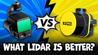
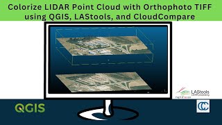