Take Surveying to the Next Level With THIS Drone

HTML-код
- Опубликовано: 3 фев 2025
- Need Geospatial Consultancy? www.stefanengi...
📱 Follow Me:
LinkedIn: / stefan-niculescu-tcins...
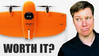
The WingtraOne Gen II is a cutting-edge vertical takeoff and landing (VTOL) drone specifically designed for professional surveying and mapping. It combines the efficiency of fixed-wing flight with the flexibility of vertical takeoff and landing, making it suitable for a wide range of environments, including confined or rugged terrains.