Размер видео: 1280 X 720853 X 480640 X 360
Показать панель управления
Автовоспроизведение
Автоповтор
ahh the virtual layer creates that strange cartographic effect!! I was wondering why my raster came out as an irregular shape, and was how I arrived here. Brilliant video and information!
Thank you for your video. I've been messing with the wrong tools for days, but you cleared things up. Thanks!!!!
Excellent video -- very clear and thorough. Thanks!
This was very helpful! Thank you!
hi, i love your videos. One question Do you know, how can i count the tree tops or density with Lidar and Arcgis pro ?
Thanks!!
Thanks , how to clip raster outside of an area boundary?
Great, but the screen is not clear
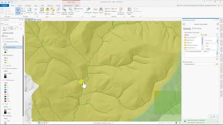