Navigating the Globe: Understanding Latitude and Longitude

HTML-код
- Опубликовано: 16 сен 2024
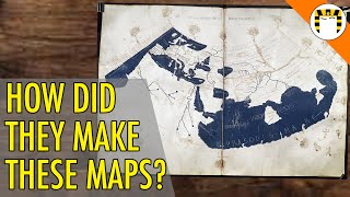
- Dive into the fascinating world of latitude and longitude-the invisible lines that define our planet! 🌍✨ From the basics of these geographical coordinates to their critical role in navigation, learn how latitude and longitude have shaped exploration, trade, and global connectivity. Discover the ancient methods used by early civilizations like the Egyptians and Greeks, and see how innovations such as John Harrison's marine chronometer revolutionized navigation. 🚢⏱️
Grasp the challenges of measuring longitude due to Earth's rotation and the revolutionary impact of GPS technology on modern navigation. Understand how tools like sextants and radio navigation systems evolved into the precise satellite-based systems we rely on today. 🛰️🌐
Whether you're a geography buff, a history enthusiast, or just curious about how we pinpoint locations on Earth, this video is packed with insights. Don't forget to like and share this video to spread the knowledge!
#Geography #Navigation #GPS #Longitude #Latitude #GlobalConnectivity #students #learning #learningvideos #study #educationalvideo #hdrbros #earth #travel #navigate


amazing how accurately they were able to find their way home, especially when those ancient mariners all knew the earth is measured, mapped and navigated flat. angles dont come from curved lines, the GP is 90° below the sun, polaris, etc. and derived with respect to a flat horizon. the dip correction is calculated using a flat plane of reference, surface level and eye level - which are parallel to each other. we dont take measurements of earth using an imaginary line from the center of earth. a mariners sextant is used prior to departure to set a base for future measurements. welcome to flat earth.