sUAS in the Oil & Gas World

HTML-код
- Опубликовано: 10 сен 2024
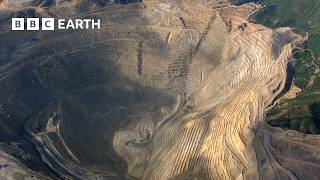
- drone2GIS Inc. offers a full geo-spatial service from Aerial Image Acquisition with small drones to specialized analysis and visuaization of the high precision, ultra-realistic models we create of service corridors in the oil and gas industry. Never mind how difficult the terrain and field conditions, contact us for the safest and most efficient path to actionable information about your assets. Supported by our very own V-Map methodology we add precision and reliability to safety and efficiency. We bring reality from the harshest environments to the comforts of your desk, putting you fully in the picture as if you were "at the scene". Welcome on board and enjoy this short inspection flight.
www.drone2GIS.com / info@drone2GIS.com