Blender - Creation of 3D City Model in Blender GIS

HTML-код
- Опубликовано: 10 сен 2024
- Hi Viewers,
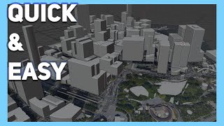
In this video, you will come to know the process of creation of 3D City Model by using BlenderGIS add-on in Blender software.
Steps to follow:
1. See that Blender software is already installed in your Laptop / Desktop.
2. Download BlenderGIS add-on in the form of zip file.
3. Open Blender software - Go to Edit - Preferences - Add-on and install - select downloaded zip file.
4. Select 3D BlenderGIS - expand and select output path to save temporary files.
5. Click on GIS from add-on, go to web geodata - Base map - select google - satellite. Google data is added to blender window.
6. Go to GIS - Web geodata - Get SRTM - See that SRTM data is downloaded.
7. Go to GIS - Web geodata - Get OSM. Select elevation from object and select the features required. Click ok.
8. OSM data is downloaded for the selected area.
9. 3D model can be seen.


Very good to see. Nice information
Thanks. Keep watching for updates.
Wow soooooo useful sir
Thank you for ur best lecturer
Most welcome