Five open satellite imagery data sources

HTML-код
- Опубликовано: 1 окт 2024
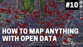
- Satellite imagery is a powerful tool for monitoring and analysis. The high-resolution satellite imagery is very expensive, which often impacts a project. However, many platforms provide free satellite imagery. Here is our list of the open resources satellite imagery that you can use for your analytical requirements


Good Video, At least you should provide the link below.
Having links, ... might make something like this useful.
Thank you for this. Swear ive searched for stuff like this at least 10 times. Guess what. Nothin ever comes up.
Quand j'entends un avion passer je sais qu'il est aligné avec moi je sais a combien de km il est et combien de personnes a bord lol 🤣🤣
میخوام زمین و کوه ها را اسکن کنم چه نرم افزاری پیشنهاد میکنید
I think... Google earth s user interface stnads out... But it shares data with platforms like this!
Right?
data source api for free or free pipeline capture
Very well made, thank you!
thanks for this